The services offered under feasibility study, DPR preparation in the transportation sector are as follow; topographic survey using total station / DGPS or drone; traffic surveys and demand assessment; preparation of GIS based land acquisition proposals; generation of contour map and digital elevation models, L section, cross section as required, Bridges, Structures and Tunnel, Land Plan Schedules and Utility Relocation Plans, Geotechnical investigation, Environmental & Social Impact Assessment. detail engineering designs of road, bridges, interchange, VUPs, PUPs, ROBs, RUB; along with detailed cost estimates.
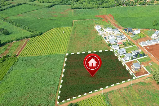
Land Acquisition, R & R Policy
We provide consultancy services for land acquisition / land pooling process as per client’s requirement. it ranges from preparation of land acquisition proposal to the possession of the land for various development projects. We follow a practice of precisely planning all the crucial steps involved in acquiring land before any agreement to start a project. Our in-house team works in collaboration with the community in charge and looks after the legal mandate procedures. We also provide services to assess the impact of the development projects, identify the project affected community and develop rehabilitation and resettlement action plans to mitigate the adverse impacts and enhance the positive impacts of the project.
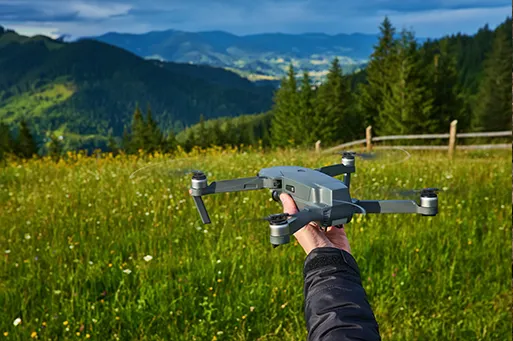
Topographic Survey
We also carry out topographic survey using unmanned arial vehicle (UAV) drone or Total Station machine or Differential Global Positioning System (DGPS) or hand-held GPS as per client’s requirement. A topographic survey, also referred to as a land, terrain or topo survey, includes survey that maps the boundaries, features, and levels of a site. Topographic surveys are a key component of the design process for a site and should be completed prior to detailed design work.
Geographical Information Science (GIS)
MappersEye, is a modern technology driven GIS service provider with focus on delivering creative solutions in the areas of Data capture, Conversion, infrastructure development, Natural Resources Management, Land Information Systems, Urban Planning by using GIS. This is the reason why we, at MappersEye GIS Solution Pvt. Ltd., focus on using nothing else but cutting-edge digital mapping technology and customized applications to serve different industries to fulfil their geospatial requirements. We have been happily leading our clients towards building a sustainable future.
Solid Waste Management
Firstly, we understand the present generation, collection, transportation and disposal system of the area, then team of our experts design and prepare plans of optimal routes for collection and transportation of household waste and design systems for segregation of waste from source to end point, after that we prepare DPR for Solid waste management including detail method as well as detail estimation of the proposed solid waste management system which focuses sustainable development of society.
Sewage/ Liquid Waste Management
We prepare liquid waste management plan by understanding the present generation, issues of the project area, then we design and prepare plans of liquid waste / sewage management from source to end point. We prepare Detail Project Report for the same including detail plan and estimate of urban as well as rural area.
Natural Resource Management
We provide services to develop detailed project reports for Natural Resource Management projects. It includes study of current development of the area by caring out baseline surveys, designing capacity sharing programs for local level human resource development, plans for conservation and management of natural resources and developing livelihood plans.
Water Resource Management
We provide consultancy services to prepare DPR rural and urban local bodies which include the collection and studying of existing data and functioning of present water supply scheme; detailed topographical surveys using total station and DGPS; geotechnical surveys, population projections, and demand calculation; We carry out hydraulic modelling of water supply networks using required software. we expertise in preparing GIS based water supply infrastructure with all required attributes to help engineers for further planning and execution.
Environmental Impact assessment (EIA)
We are promoting environmentally sustainable development of the country while planning all infrastructure projects. We carried out environment impact assessment studies, obtaining environmental clearances for various projects from respective departments like Ministry of Environment Forest and Climate Change Government of India (MOEFCC), CRZ, Pollution Control Boards etc. We also prepare Environmental Development Plans for villages and towns. We provide consultancy services to conduct Environmental Impact Assessment (EIA) as and when required.
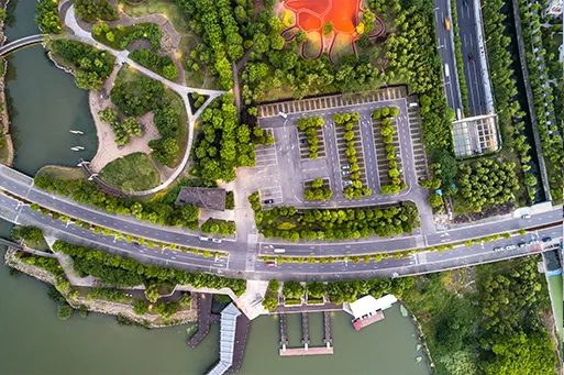
Town Planning
MappersEye provides services for preparation of master plans for basic infrastructure in urban and rural areas which includes formulation of strategies and vision for preparation and implementation of Town Planning Scheme (TPS); obtaining consent of land owners for aggregation of land; proposal for land use planning. We generate and update GIS-based detailed survey of land, existing and proposed land use mapping, design Spatial Plan, Road Network Plan, water supply network plan, solid and liquid waste management plan etc.